Birse, Aberdeenshire
Birse had at least three parochial houses located at Waterside, Marywell, and Powlair. These were locally administered rather than operating as statutory poorhouses under the central Board of Supervision.
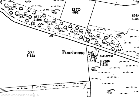
The Waterside premises, situated about a mile to the south-east of Aboyne, are identified as a poorhouse on the Ordnance Survey first edition (approximately 1869) and second edition (approximately 1900) maps. The building no longer exists.

Birse Waterside site, 2009
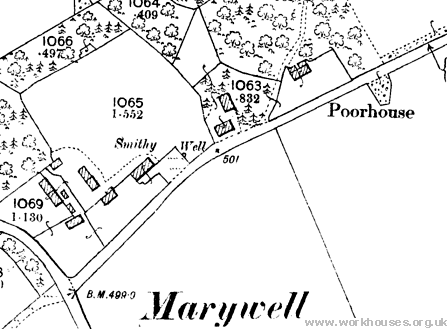
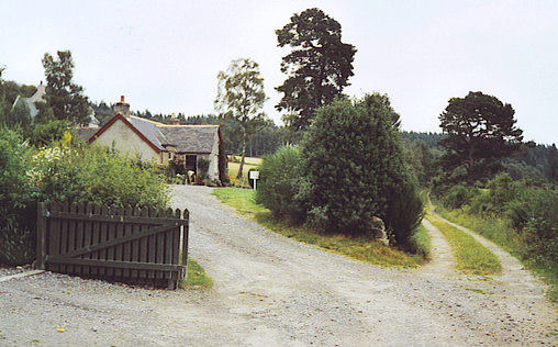
The Marywell establishment was located at the north-east of the hamlet and is marked as a poorhouse on the first and second edition OS maps. The building survives as Market Stance.

Birse Marywell site, 2009

Birse former poorhouse at Marywell, 2005.
©
Colin Smith and licensed for reuse under this Creative Commons Licence
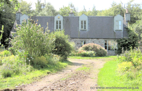
The Powlair poorhouse was in a remote location about a mile to the south of what is now the B976, approximately equidistant from Aboyne and Banchory. Again, the first and second edition OS maps show it as a poorhouse. The building is now a private residence.

Birse former poorhouse at Powlair, 2009.
© Peter Higginbotham.
Inmates
- Birse Waterside Poorhouse 1881 Census
- Birse Marywell Poorhouse 1881 Census
- Birse Powlair Poorhouse 1881 Census
Records
Note: many repositories impose a closure period of up to 100 years for records identifying individuals. Before travelling a long distance, always check that the records you want to consult will be available.
- Angus Archives, Hunter Library, Restenneth Priory, By Forfar DD8 2SZ.
Unless otherwise indicated, this page () is copyright Peter Higginbotham. Contents may not be reproduced without permission.


