Keig, Aberdeenshire
Keig operated a parochial poorhouse or almshouse from at least the 1860s. It was locally administered rather than operating as a statutory poorhouse under the central Board of Supervision.
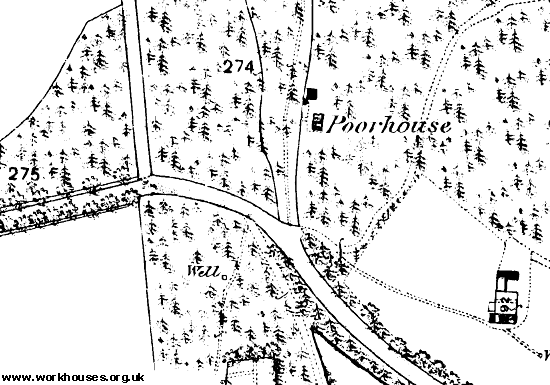
The poorhouse was located about a mile to the north-east of Castle Forbes and is identified as a poorhouse only on the first edition Ordnance Survey map of 1868. The single-storey building was divided into four dwellings.

Keig poorhouse site, 1868.

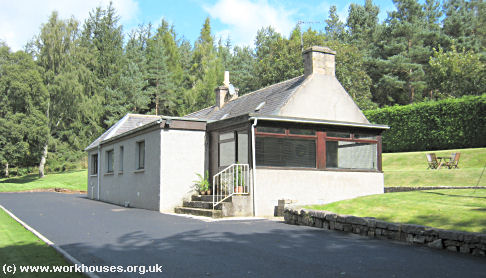
Keig former poorhouse from the south-west, 2009.
© Peter Higginbotham.
The building, now much extended, is a private residence.
Records
Note: many repositories impose a closure period of up to 100 years for records identifying individuals. Before travelling a long distance, always check that the records you want to consult will be available.
- Aberdeen City Archives, Town House, Broad Street, Aberdeen AB10 1AQ, and Old Aberdeen House, Dunbar Street, Aberdeen AB24 3UJ.
Unless otherwise indicated, this page () is copyright Peter Higginbotham. Contents may not be reproduced without permission.


